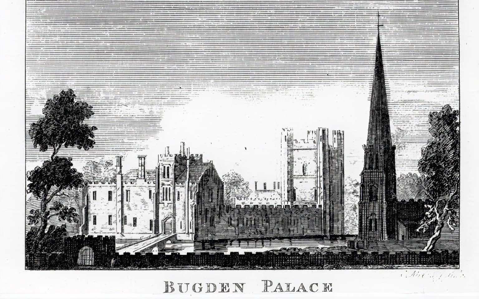
| ‘Bugden Palace’
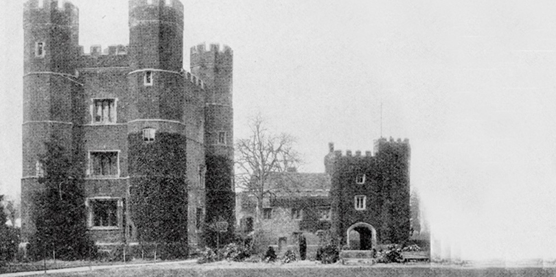
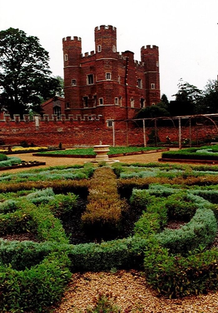
Buckden Towers is situated at the heart of the village of Buckden, bounded to the west by the High Street, formerly the Great North Road, and to the south by St Mary’s Church and Church Street, which continues as Mill Road towards the River Ouse. These two roads form the principal streets in Buckden. The north and east boundaries adjoin the modest rear gardens of residential properties on St Hugh’s Road and the large well treed rear gardens of properties on Silver Street. The site is enclosed by walls and a tree belt and has an air of quiet calm that contrasts with the relative busyness of the High Street.
The buildings and structures are all concentrated in the southwest corner of the site. The outer brick wall of the palace dominates the junction of High Street and Church Street; over 3 metres in height it extends approximately 116 metres on High Street and 70 metres on Church Street, terminating at the church boundary. The Outer Gatehouse, which has an embattled parapet, enables pedestrian access to the site from the High Street. There is a gated vehicular entrance situated towards the north end of the boundary wall. A small 19″ century, red brick single storey lodge with an overgrown garden is situated beside the Outer Gatehouse. A Stable Block now converted into three dwellings adjoins the boundary wall on High Street and has a window that perforates the boundary wall.
Structural History
Apart from the evidence of the surviving buildings, there is very little help in understanding the structural history of the site. The most important source is the excavations of 1921-25 to the east of the house, but these were largely unrecorded, and the contemporary account published by the Royal Commission seems to have utilised a plan produced by the excavators, but with very little comment.
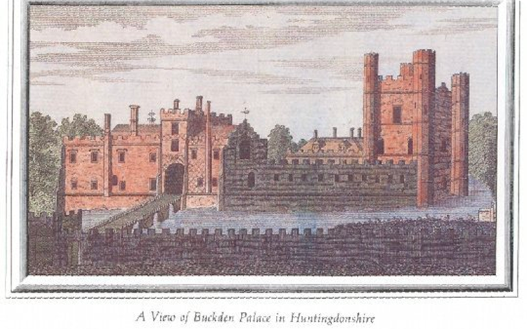
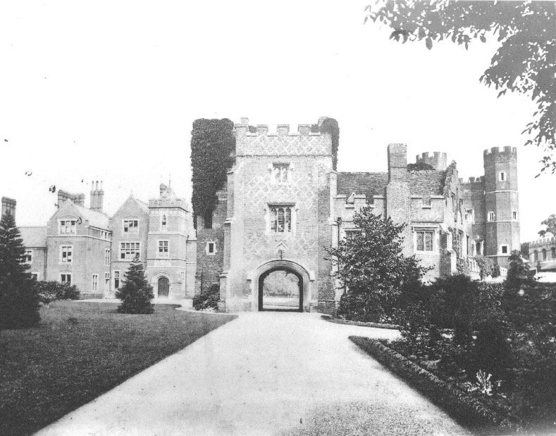
| A view of Buckden Palace in Huntingdonshire
Excavation Details
The Commission’s own records at Swindon are of great use in evaluating the then state of the buildings, but have nothing to say about the excavations. The interpretation of the 1925 drawing is given below, but without further information it is not possible to be dogmatic about the meaning of these foundations. According to the VCH discussion, the remains have been concreted over, in bringing the terrace up to a level, and so further work here must be very limited.
The Excavations of the 1920s
The record preserved by the Commission shows structures identified as Hall, Chapel, and Chamber, with a series of other walls of varying thickness. Three of these are identified as having rubble foundations: the lower end of the Hall and the southern end, with a deviation at its eastern corner, and the eastern end of the Chapel. It is reasonable to see these as early, and place them in the 13th century or earlier.
Rebuilding After the Civil War
A thinner brick foundation which occupies part of the southern end of the Hall and extends to the east end of the chapel is probably part of a rebuilding after the demolition of the Great Hall after the Civil War, and before the rationalizing of the area which is shown by the plan of c.1837 shown in Rudge. It is perhaps the line of the path shown in his plan.
17th Century Rebuilding
Similarly, the brick foundation of medium width which runs from the southwestern corner of the Hall, which includes a stair turret at the point of junction, is probably to be dated to the 17th-century rebuilding, and is shown as a turret at the left of the west front in Rudge’s drawing, and as a stair in his plan.
Features of Later Rebuildings
Small square chambers visible at the northern side of the rebuilt Chapel and in the center of the cloister were perhaps garderobes belonging to the 16th and 17th-century rebuildings. The western side of the Great Hall and its porch were exposed and are noted as being brick.
Harmonisation with 15th Century Construction
It is thus likely that this part of the building was rebuilt at the time of the 15th-century construction, to harmonize with the new gatehouse and tower. The massive scale of this wall at about 2 meters is unusual and may suggest that the brick is a casing to the earlier rubble wall.
Later Modifications
The canted bay of the Great Chamber fireplace, shown in the RCHM plan, is suggestive of a later date, though the Commission does not indicate what was the nature of the wall (‘concrete covered’), and the fireplace may have been an insertion into a 13th-century structure.